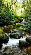
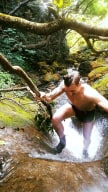
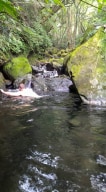
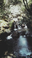
We have information about 22 river traces located around Taipei, North Taiwan
-
 Mark
Mark
River:
UnknownArea:
TaipeiRegion:
NorthStart:
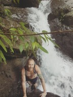
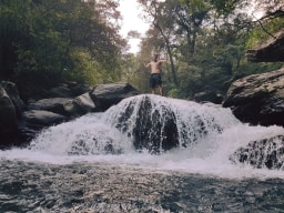
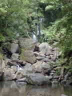
24.85745701317228, 121.5624583307028This is a very simple trace just south of the town in Wulai. The starting point is behind the blue pieces of sheet metal along the road, and there is a path behind them that leads to the the stream. It would be best for you to start here instead of by the elementary school because it is very easy to miss the exit. Depending on the water level, this ... trace can be categorized as easy to medium. Along the trace there are numerous pools to swim in. -
Mike
River:
中坑溪 / Zhongkeng riverArea:
TaipeiRegion:
NorthStart:
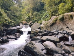
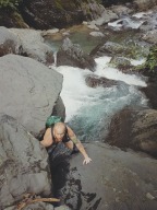
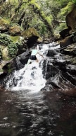
24°47'43.6"N 121°29'35.4"EThis trace starts out very close the road. It quickly goes strait upwards. It is not a flat trace in any stretch of the way, but has some great waterfalls to climb over. -
Gino
River:
中坑溪 / Zhongkeng riverArea:
TaipeiRegion:
NorthStart:
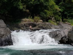
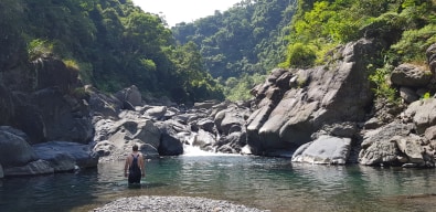
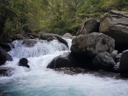
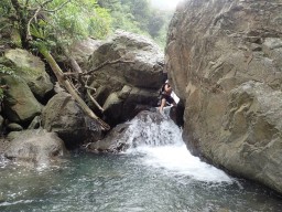
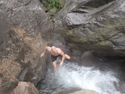
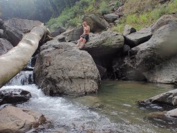
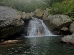
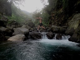
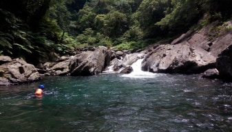
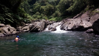
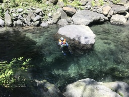
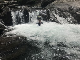
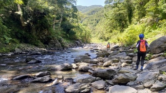
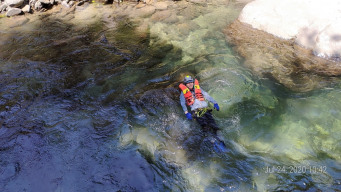
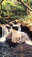
24.841285,121.459937Located not too far away from Taipei city this makes for a perfect day trip. If you aren't up for river tracing it is possible to hike in and out to the waterfall at the end, though the trace is more scenic, enjoyable and makes for a better adventure than the hike in my opinion. This is a nice easy river trace through a wide-open valley with nice ... mountain views on either side. You can park at the GPS point and walk further along the trail than you are able to drive to get down into the water. You should be able to get into the water just above one major waterfall, you can walk back and take a look at it if you want before heading forward. The way upstream is a bit tiring but there are no major obstacles till the ending GPS point where you will find a large waterfall with a nice pool or swimming in below teeming with fish. You can take one of the two branches at the fork further up than the waterfall if you wish, the climbing becomes a bit more difficult and you shouldn't continue this way unless you are confident in your abilities. -
Jay
River:
阿玉溪 / A'yu riverArea:
TaipeiRegion:
NorthStart:
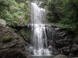
24.84466,121.58337The water is clean. Many fish. A good place for camping. Transportation: scooter, car -
River:
大屯溪 / Dà tún xīArea:
TaipeiRegion:
NorthStart:
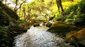
25.204307, 121.525322This is a really really easy trace as far as there not being any real difficult climbs or such along the way. I would recommend this place to beginners as it's easy to access and you shouldn't have any issues with it. It is one of the more accessible outdoor adventures in Taiwan. As it's not too far away from society I wouldn't drink the water. At c ... ertain points, you may find people BBQing. There are a few places where the water is deep enough to swim if you want. As such if you can't swim be prepared to deal with them. There is also a point further upstream you can start this trace if you want it to take a little longer located at 25.205517,121.520577. Personally, I liked the second half of the trace more but that's up to you.